While Out Riding
Dirt road cycling adventures across the Americas and beyond
Menu
Skip to content
Home
About
Blog
Gear Reviews
Journalism
Bike
Packlist
Support
Contact
FB
TB
Menu Item
California Bound
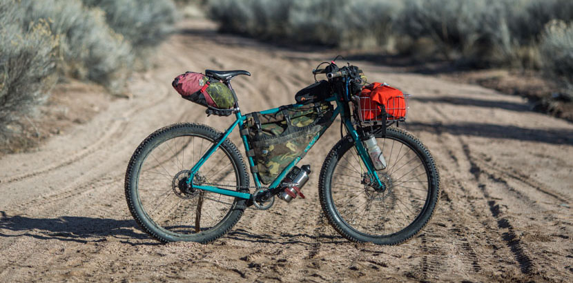
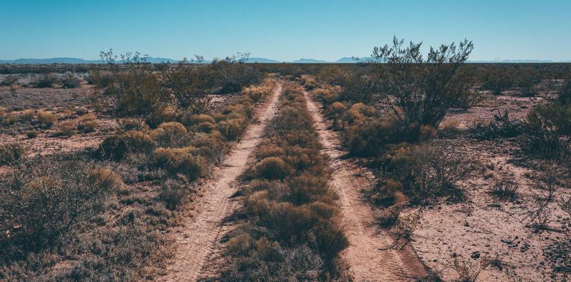
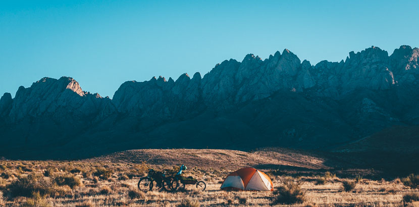
New Mexico Off Road Runner
Home
About
Blog
Gear Reviews
Journalism
Bike
Packlist
Support
Contact
FB
TB
Menu Item